
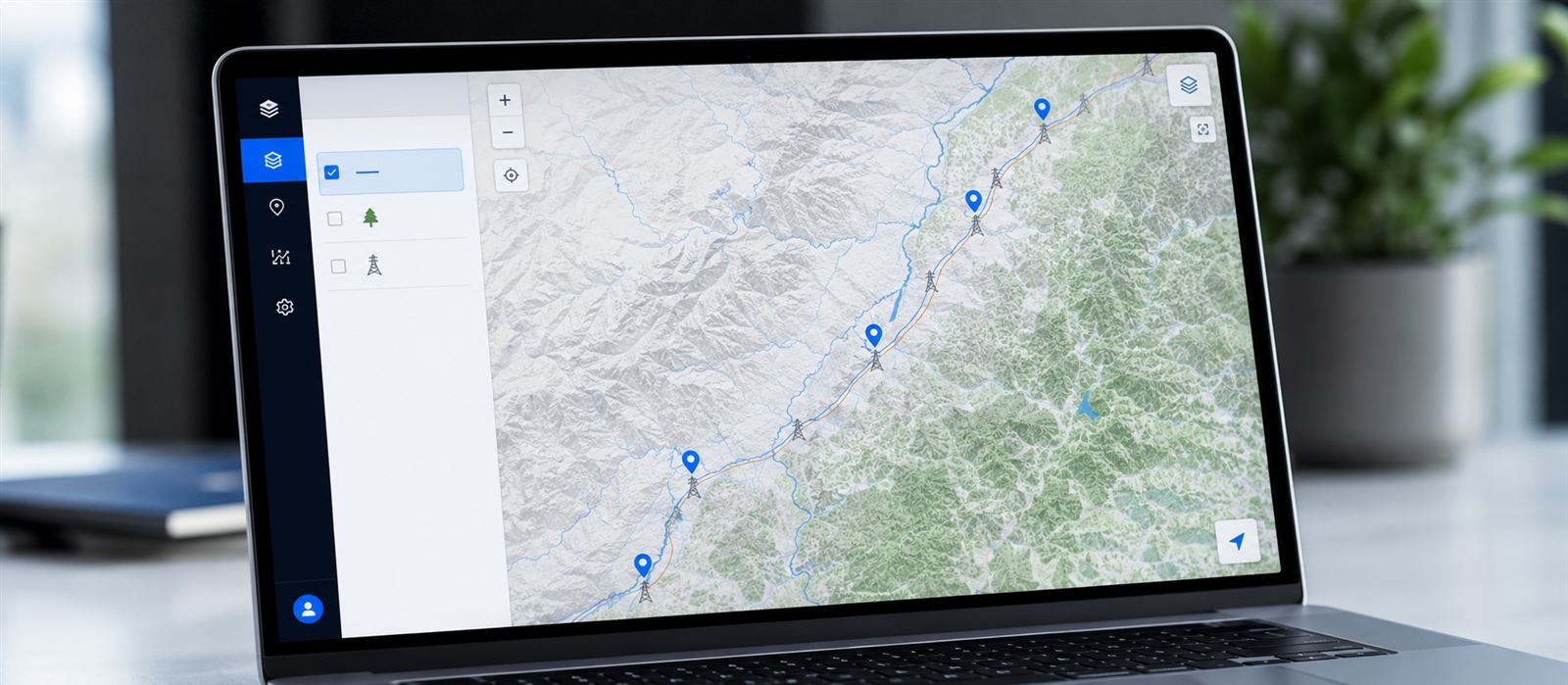
A power line inspection project easily generates 2 TB of LiDAR data in a single flight. The question almost no client asks until it becomes urgent is: how long does it take from that flight to an operational geoportal with the classified, published information?
The project
The specific case we use as a reference here is a 64 km high-voltage line corridor, with 172 towers, flown over two consecutive days by the electricity distributor responsible for maintenance. The flight generated 2.1 TB of raw LiDAR data, with an average density of 85 points per square meter over the corridor.
On Neobora’s side, the project was run by a single quality-control operator, supported by automatic cloud processing — with no need to assemble a dedicated photo-interpretation team for a project of this size.
That a single operator can handle a corridor like this is not an individual feat: it is what having project management, AI processing, quality control and publication on a single platform makes possible. Neobora chains the five phases together without jumping from tool to tool, and that is where the time is saved.
Flight reception and validation
The first step is ingesting the raw point cloud and validating coverage, density and georeferencing quality before launching any processing. Catching a flight problem here saves hours of reprocessing later.
Automatic cloud processing
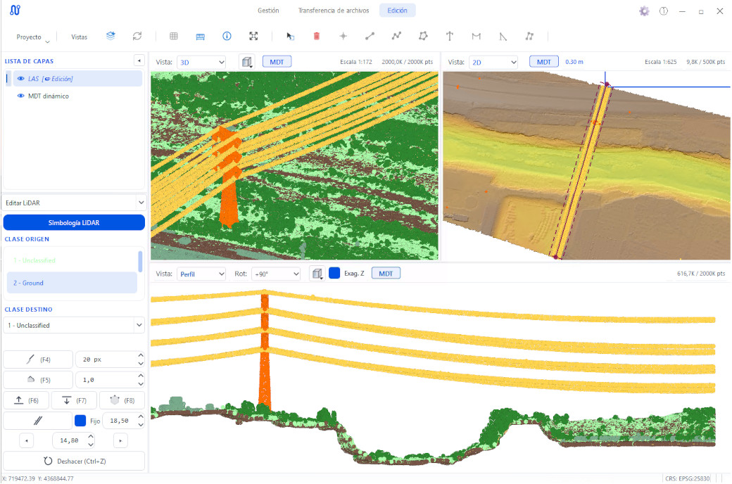
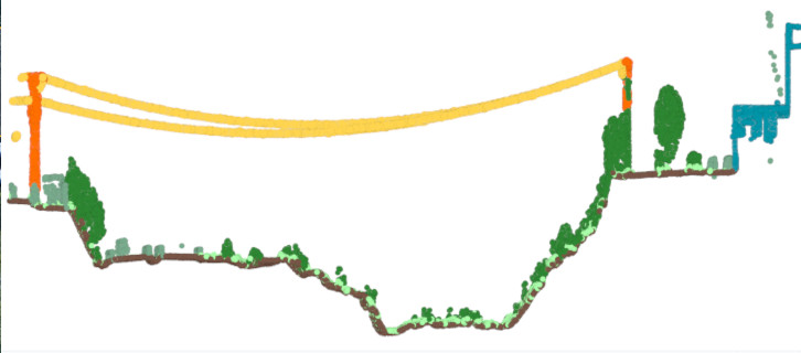
With the data validated, automatic classification separates ground, vegetation, towers and conductors at millions of points per minute. In this specific project, the 2 TB flight was processed in parallel, splitting the load across several nodes.
The bottleneck is no longer processing. It’s how long the team takes to review what’s uncertain.
Quality control
The operator only reviews the zones the model flags with low confidence — spans with dense vegetation, line crossings, low point-density stretches. The rest of the corridor flows straight to publication without manual intervention.
Geoportal publishing
Once validated, the classified data is published to a geoportal in a single step, with layers, legend and measurement tools ready for the end client. There are no manual exports or imports between systems: at Neobora, publication is part of the same flow, and the geoportal speaks OGC standards, so the data is interoperable with whatever the client already uses.
48-hour timeline
Laid out on a timeline, this is how the project broke down from the moment the drone landed after the last flight to when the client had access to the geoportal:
Lessons learned
Two things about this project repeat in almost every corridor of similar size. First: the bottleneck was never raw processing, but waiting for the full flight to be uploaded before validating coverage — uploading in parallel by section, instead of waiting for the complete flight, cut several hours off that first phase in later projects.
That is why Neobora's massive parallel transfers are no minor technical detail: uploading section by section while the flight is still coming in directly cuts down the phase that most often stalls the start of a project.
Second: the 4% of manual review wasn’t spread evenly across the corridor, but concentrated in two specific stretches with very dense riparian vegetation. Knowing this in advance — from the type of terrain each corridor flies over — lets you anticipate where more operator time will be needed even before the flight arrives.
Conclusion
From flight to operational geoportal in 48 hours isn’t a marketing promise: it’s the result of automating the repetitive and concentrating the human team on the percentage of data that truly needs it — in this project, 4% of the corridor.