
Solutions · Engineering & Geospatial
Multiply your output.Not your headcount.
For aerial survey companies (drone, helicopter, plane), photogrammetry, cartography, surveying and GIS that need to process more data, in less time and with guaranteed quality.
The challenge
What’s holding you back today.
The bottlenecks that slow down teams working with geospatial data.
How Neobora solves it
From problem to capability.
Use cases
The workflow, end to end.
01LiDAR classification with AI
02Visual inspection with AI
03Cloud algorithm execution (3D vector extraction, elevation models, distance reports, etc.)
04Distributed production team management with unlimited free seats
05High-productivity editing and quality control tools
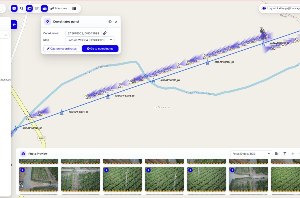
06Delivery to the end client via private geoviewer or our desktop application
07Transfer of project ownership to the end client: from then on, they cover the cost of keeping the data on the platform

FAQ
Frequently asked questions.
Start now
Sign up free. No credit card.
Create your free account in a minute and discover the platform, from your preferred region.