“Managing massive geospatial data is complex, costly and inaccessible to the people making the decisions.”
What you do today with four tools and two subcontractors.
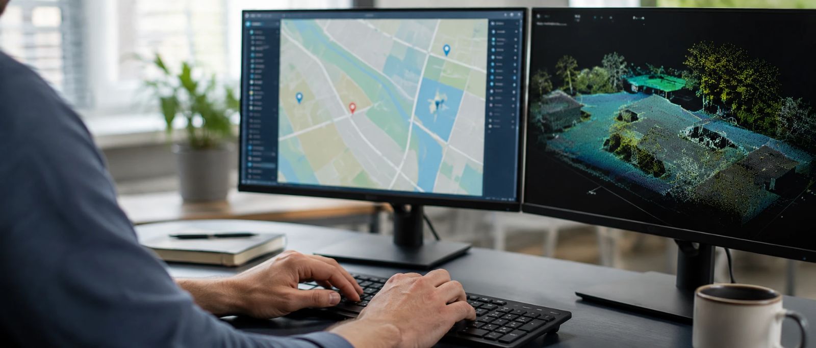
Neobora brings management, AI processing, quality control and publishing of your geospatial data at scale into a single environment.
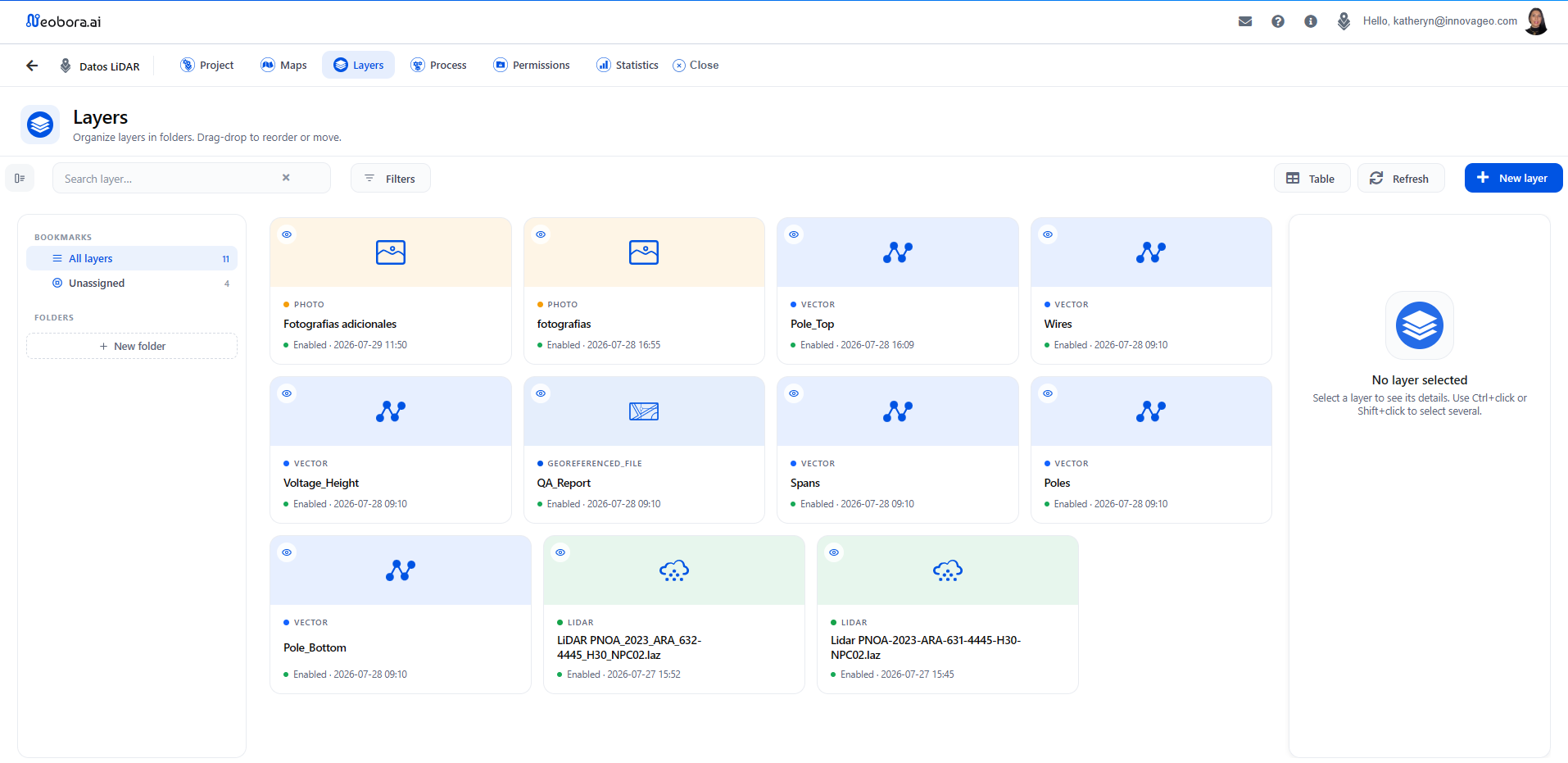
Projects, layers, permissions and usage statistics from a clear web interface. Upload and download terabytes with parallel transfers. Your team, your subcontractors and your clients in the same secure environment, with full control of the data.
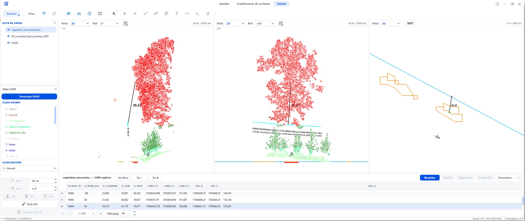
Massive cloud processing with built-in AI: LiDAR point cloud classification, complex geoprocesses, automated reports. High-productivity editing and quality control for GIS, LiDAR and 3D vector data.
Public and private geoviewers in one click. Accessible, transparent and reusable data for citizens, clients or internal teams — without writing a single line of code or relying on GIS profiles.
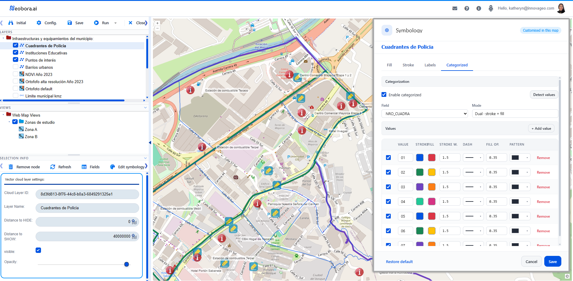
Everything a geospatial workflow needs, integrated.
Three profiles, one product.
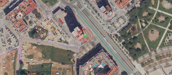

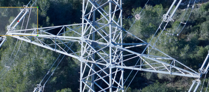
Simpler, smarter, more profitable.
All-in-one platforms are expensive and require experts. Niche solutions force you to chain tools together. Neobora is an all-in-one, plug & play, pay-per-use platform.
Subscription plans.
All plans include the same features. Only the usage multiplier changes — GB, processing, AI, geoviewers — which you allocate however you like.
119 €/mo if you pay monthly
359 €/mo if you pay monthly
849 €/mo if you pay monthly
Only the person who manages the subscription pays. Invite your team, your subcontractors and your clients as free users, with no limit.



Latest from the blog.


Your geospatial platform, ready today. Free. No credit card.
Create your free account in a minute and discover Neobora, from your preferred region.