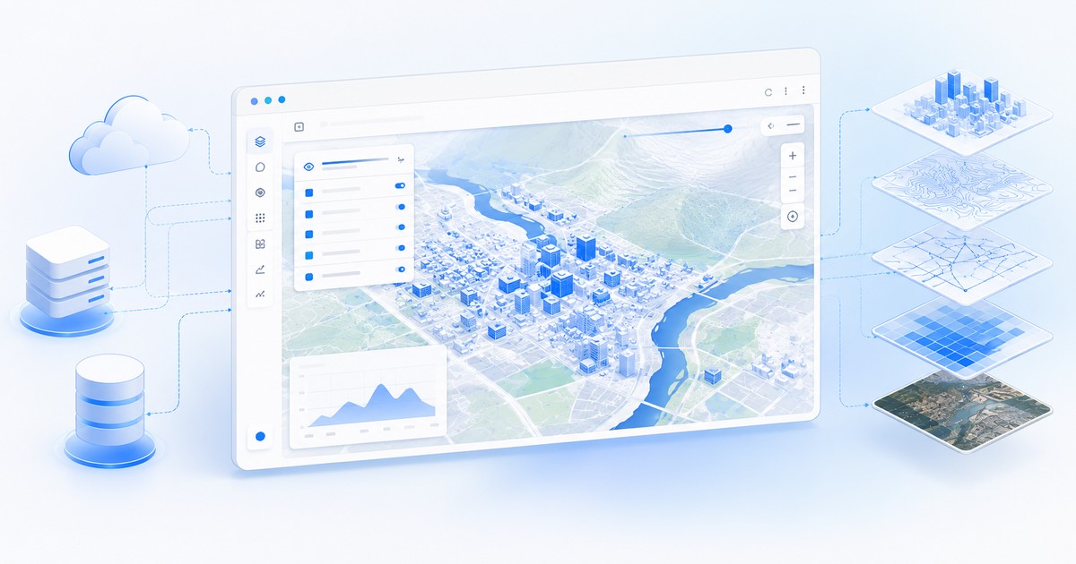

Many mid-sized city councils want to publish their cartography as open data, but don’t have their own GIS team or budget for one. The good news is that today that’s no longer a real blocker.
The challenge of publishing without a GIS team
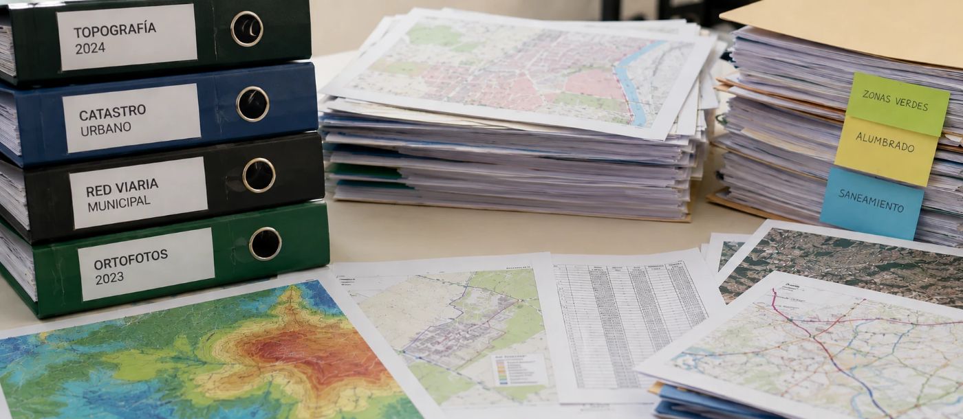
Without specialized profiles, municipal open data usually ends up as loose files published on a generic portal, without navigable layers or query tools. The data exists, but nobody can use it practically.
Which data to prioritize
You don’t need to publish everything at once. Street maps, cadastre, street lighting and green areas tend to be the layers with the most citizen demand and the easiest to keep updated with existing resources.
Municipal open data doesn’t need a GIS department. It needs a platform that does the heavy lifting.
Por qué no basta con un GIS de escritorio
La respuesta habitual a este problema ha sido instalar un software GIS de escritorio y encargar a alguien de la plantilla que "aprenda a manejarlo" en su tiempo libre. Funciona a medias: el software resuelve la manipulación de la información, pero no resuelve la publicación ni la difusión. Convertir una capa editada en un visor cartográfico web que un ciudadano sin conocimientos técnicos pueda abrir y entender sigue siendo un paso manual, lento y que se abandona en cuanto esa persona cambia de puesto o de ayuntamiento.
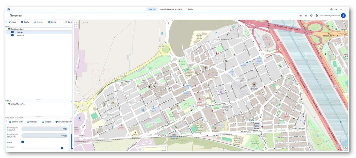
A platform designed to publish, not just to edit, removes that step. This is Neobora's approach: the layer is uploaded once and the geoviewer —with layers, legend, search and measurement tools— is generated on its own in a single click, without anyone having to export, set up or maintain a separate viewer.
Friction-free tools
A ready-to-use geoviewer like Neobora's allows a municipal technician with no GIS training to publish and maintain data without relying on an external consultancy for every update. From the same platform, the council decides which layers are public and which remain restricted to internal use, and can share them with unlimited free users and geoviewers.
Long-term maintenance
The part almost nobody plans for is who updates the data in six months. Automating the ingestion and validation of new layers is what prevents the geoviewer from becoming obsolete at the first staff change.
That support can also be contracted: alongside the Neobora subscription we offer consultancy hour packages, so you can count on our experts’ help until the portal’s goals are met and, above all, to train municipal staff in maintaining the data. The aim is that updating the information requires no GIS knowledge: it is enough to send a text, an audio, a photo or a video over WhatsApp for Neobora’s AI to analyze the content and publish it automatically in the corresponding layer and map within seconds; from there, keeping each item’s status up to date takes just a few clicks, within reach of any non-expert user.
Conclusion
Publishing quality municipal open data no longer depends on having an in-house GIS team, but on choosing a platform that absorbs the technical part and lets the council focus on deciding which data matters to its citizens.
Neobora is designed precisely for that scenario: it absorbs the technical side —publishing, maintenance and field capture— with pay-per-use, with no need for GIS profiles and with the data always under the council's control, whether in the cloud or deployed on-premise.
Ready to get started? Create your free account in under a minute, no card and no commitment.