The word "free" in software almost always means the same thing: a stripped-down version, with watermarks, a three-file limit and an "Upgrade now" button in every corner. A showcase, not a tool. That's why many people don't even bother signing up. Neobora's free account doesn't work like that, and it's worth understanding why — because with it you can do quite a bit more than the industry has taught you to expect.
The wrong idea about the free plan
In geospatial, "free" has historically been synonymous with a demo viewer: you can look at some sample data, but you can't bring your own or publish anything real. Neobora's free account flips that logic. It's not a demo with an expiry date: it's a working account, designed for you to do useful things from minute one and without entering a card.
The difference lies in where we set the limit. Instead of cutting features, the free plan gives you access to the publishing and collaboration part of the platform; what is metered and paid for is the intensive use of our infrastructure —cloud storage, computation and AI processing—, not the fact of using the product.
Unlimited geoviewers without uploading your data
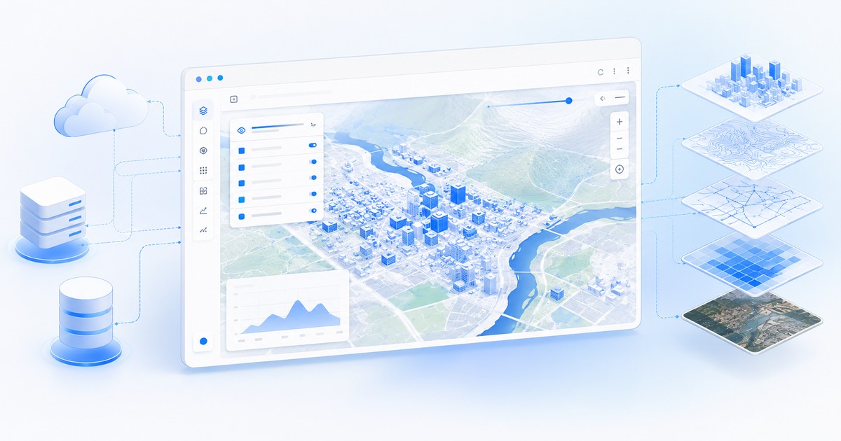
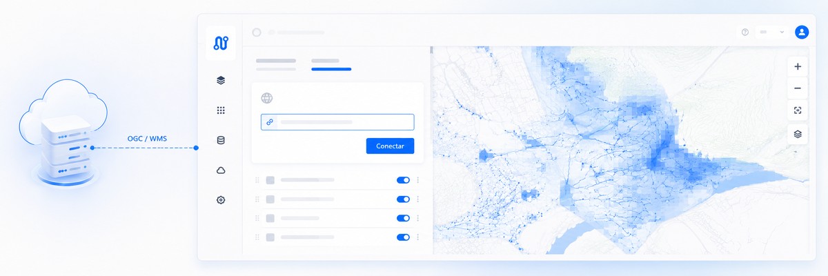
The flagship feature of the free plan is this: you can create unlimited geoviewers by connecting your data through OGC standards, without needing to upload the information to our cloud. In other words, your data keeps living where it already is —on your server, in your SDI, in your organization's geoservice— and Neobora consumes it live to build the viewer.
This has two big consequences. The first is cost: since you don't take up our storage, you don't consume the resource that is paid for, and that's why these geoviewers are free and with no limit on their number. The second is data governance: for many public bodies and engineering firms, data cannot leave their infrastructure due to internal policy or regulation. By connecting via OGC, they publish a modern viewer without moving a single file.
Connecting via OGC, explained without jargon
OGC (Open Geospatial Consortium) is the body that defines the standards with which geospatial systems talk to each other. In practice, it means that if your organization already publishes its layers through services such as WMS, WMTS or WFS —something common in any municipal or regional SDI—, those layers can be plugged into Neobora by writing little more than a URL.
There's no need to migrate anything, convert formats or duplicate the information. You already have the tap open; the free account lets you connect a hose and build, from that flow, a navigable viewer, with legend, search and query tools, that you can share with anyone.
The free plan isn't a reduced version of Neobora: it's Neobora publishing and collaborating on data you don't even have to upload.
Collaboration: viewers and users free, with no limit
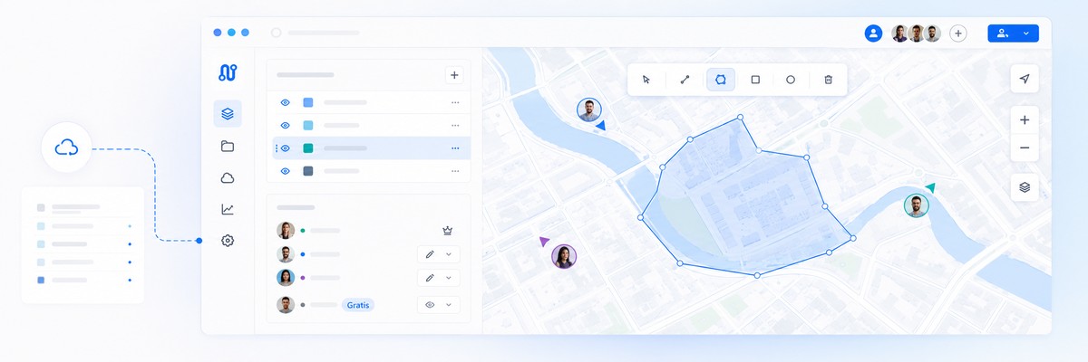
The second big misunderstanding with free plans is that of "seats": paying for every person who logs in to look. In Neobora, read-only users and geoviewers are free and unlimited. You can give access to your entire department, to other municipal services or to a client so they can view the data without that increasing the bill.
This changes how you work as a team. Instead of exporting screenshots or PDFs so people can "see how it's going", you share a live link to the geoviewer. Whoever opens it always sees the latest version, with the query tools at hand, without installing anything and without using a paid seat.
Full access when a project is shared with you
There's a detail that surprises almost everyone: with a free account you can use all the platform's features if a paying user shares a project with you with the right permissions. You don't need your own subscription to work inside someone else's project.
This fits naturally with how the industry works. An engineering firm on a paid plan can invite its subcontractor to edit and run quality control on the same project in the cloud; a city council can add Civil Protection or a maintenance crew; and they all operate with the full tools at no extra cost, because the project —and the usage it consumes— is charged to whoever opened it.
When it makes sense to move to a paid plan
Being honest about the limit is part of the argument. The free plan more than covers publishing and collaboration; where it ends is in the intensive use of our infrastructure. You'll need a paid plan when you want to upload your own data to Neobora's cloud, process it with our AI —for example, classify a LiDAR point cloud—, run heavy geoprocessing or be the owner of the project that others use for free.
Put another way: as long as you connect data you already have published and collaborate on it, the free plan is enough. As soon as you want Neobora to do the heavy lifting of storing and processing, you move to pay-per-use —and there you only pay for what you actually consume, with no per-seat licenses.
How to get started (in a minute, no card)
Signing up literally takes a minute: you choose your region, register and confirm your email. From there you can create your first geoviewer by connecting a layer via OGC, or ask a colleague on a paid plan to share a project so you can tinker with all the features. No card and no commitment: the best way to check whether Neobora fits you is, quite simply, to use it.
Ready to get started? Create your free account in under a minute, no card and no commitment.