
We’ve been working for a while on something that’s going to change how teams manage their geospatial data. It’s called Neobora, and it’s about to arrive.
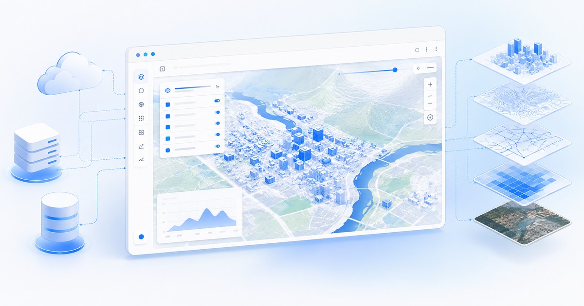
One platform, the full data lifecycle
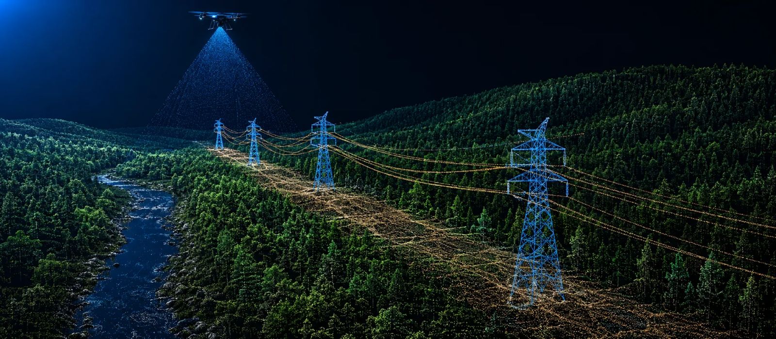
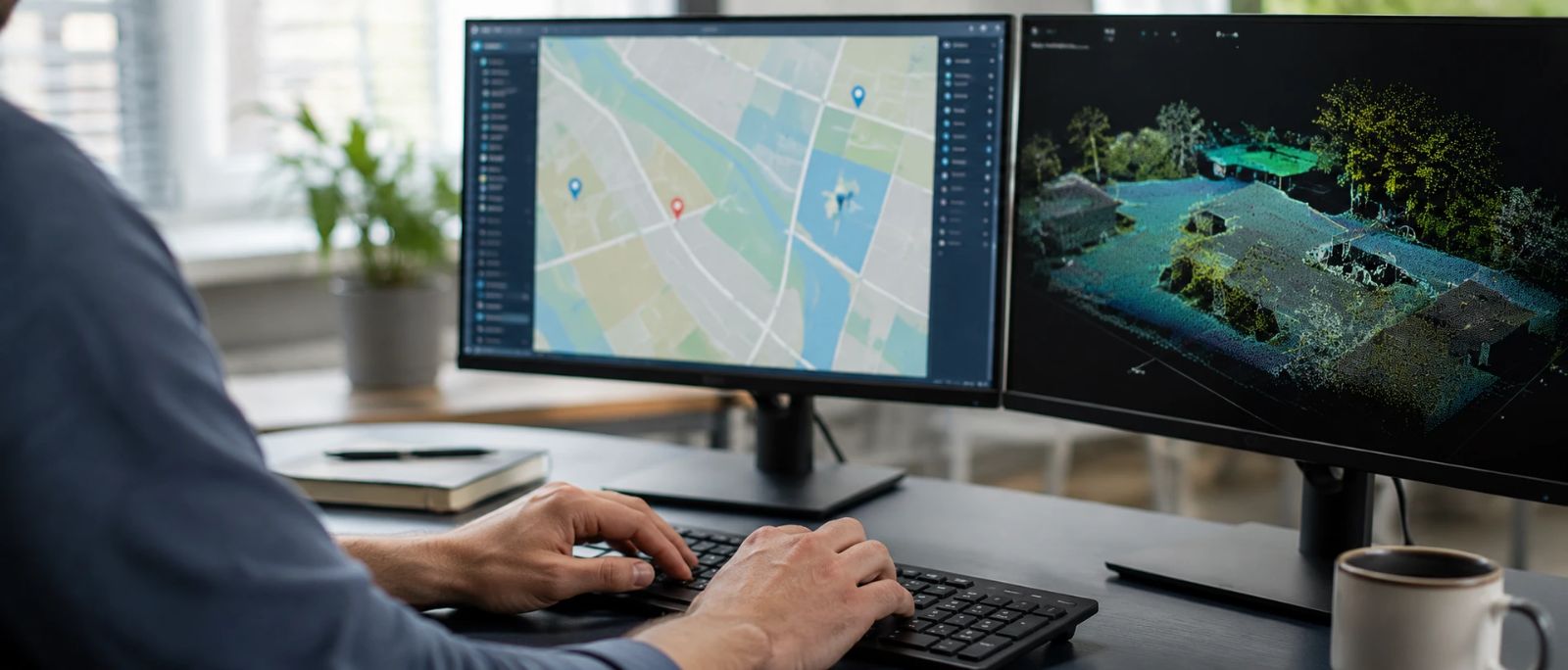
From managing geospatial information to publishing it on public or private geoviewers, through AI-powered data processing and productive quality-control tools for the results. No need to rely on half a dozen different tools, and no matter your sector: public administration, engineering, energy or any other.
Simple, transparent, yours
Automation that really saves time. Real control over your information. And a price you understand before you sign, not after.
The moment is near
We’re putting the finishing touches before opening access. We’ll share more very soon.