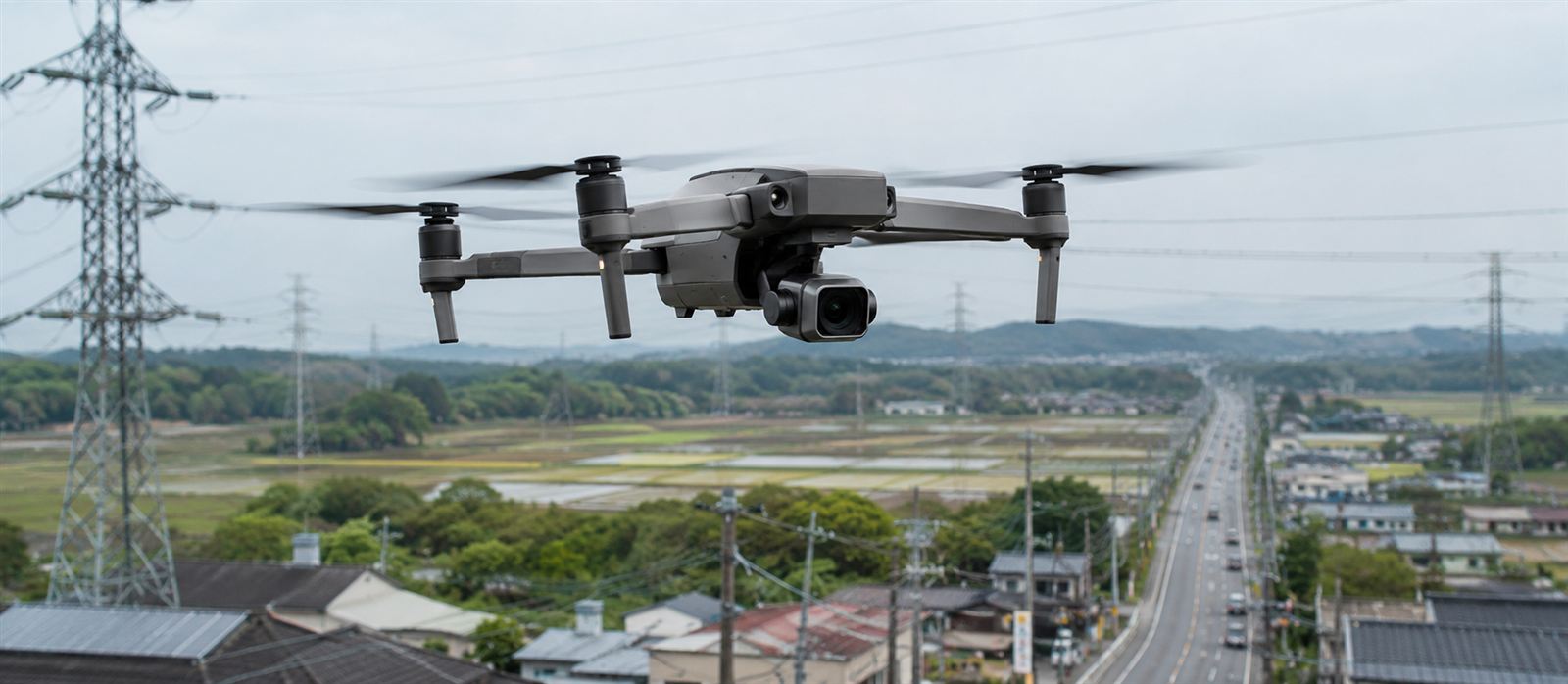
Inspecting a power-line or road corridor with a drone is, on paper, always the same operation. In practice, it changes completely as soon as that corridor stops crossing open country and starts skirting or crossing a populated area.
Rural vs. peri-urban: it's not just the flight
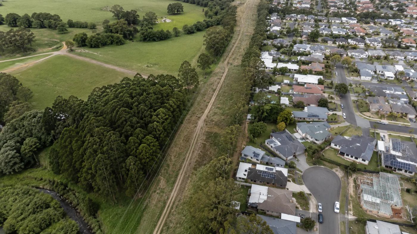
In a rural corridor, the main variable to plan for is orography and weather. In a peri-urban stretch or one that borders a town, restrictions are added that don't depend on the terrain but on who and what lies below: homes, roads with traffic, other overhead infrastructure or areas where the airspace is already regulated for other reasons.
Airspace restrictions
European drone regulations (the "specific" or "open" category, depending on the case) become more demanding the higher the density of the population overflown. Flying over an urban area or a gathering of people usually requires a different operation category, specific authorizations and, in many cases, a documented operational risk assessment (SORA) before scheduling the flight.
Add to that the proximity to critical infrastructure — aerodromes, hospitals, other power lines — which can introduce additional restriction zones within the corridor's own route.
The same corridor may need two different flight plans depending on the stretch being overflown.
Risk management over populated areas
Beyond the paperwork, the real risk management changes: you need to plan escape routes in case of a drone failure that don't overfly homes or roads with traffic, coordinate with local authorities if the flight passes near schools or hospitals, and sometimes inform local residents before operating. None of these steps are necessary on a purely rural stretch.
What changes in flight planning
In practice, a mixed corridor is planned by sections: the rural stretches are flown with the standard operational profile, while the peri-urban stretches require more conservative flight altitudes, greater overlap between passes to compensate for trajectory restrictions, and more limited time windows to minimize exposure over the population.
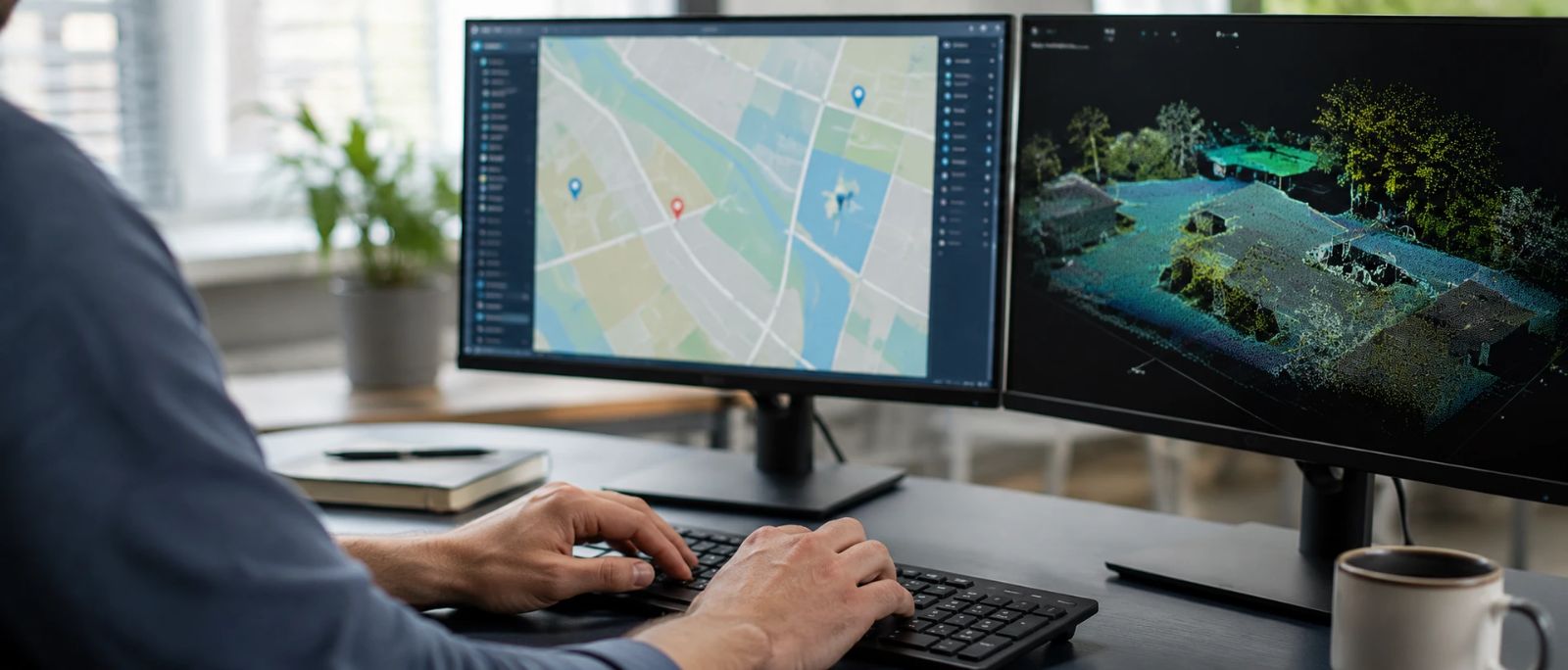
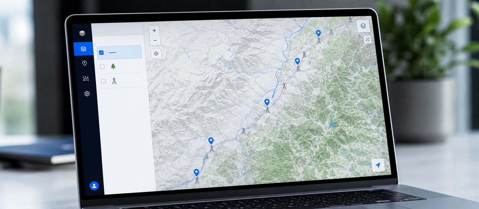
Planning and documenting a corridor section by section is also a data-management problem: who accesses what, how the project status is shared with local authorities and how large flight volumes are transferred between teams. Centralizing the project, its layers and its permissions on a single platform —and being able to publish a private geoportal with the corridor status in one click— stops the coordination with the administration and affected parties from becoming the second bottleneck, after the flight itself.
The data isn't the same either
Urban or peri-urban stretches tend to bring more noise into the point cloud — rooftops, vehicles, street furniture, additional wiring unrelated to the line being inspected — that has to be filtered out before classifying what really matters: the infrastructure itself and its immediate surroundings. A classification model designed only for rural corridors usually needs adjustment so it doesn't confuse these elements with the vegetation or the structures of the corridor.
This is where a cloud processing platform makes the difference compared with a manual workflow. At Neobora, AI-powered LiDAR classification runs over the entire corridor and lets you retrain or fine-tune the model to distinguish peri-urban noise —rooftops, vehicles, street furniture, unrelated wiring— from the infrastructure that is actually being inspected, without setting up a different environment for each section. The high-productivity editor and quality control leave the fine validation of doubtful data in the hands of the technician, which is where their judgement adds value.
Conclusion
The capture technology is the same in both cases. What changes is everything surrounding the flight: regulations, authorizations, risk management and data cleaning. Planning a mixed corridor as if it were purely rural is the quickest way to end up with a denied flight or a delayed project. Having a platform like Neobora, which manages the project, processes the classification in the cloud and publishes the result in a controlled way, doesn't remove those requirements, but it does stop every peri-urban stretch from turning into an improvised, separate workflow.