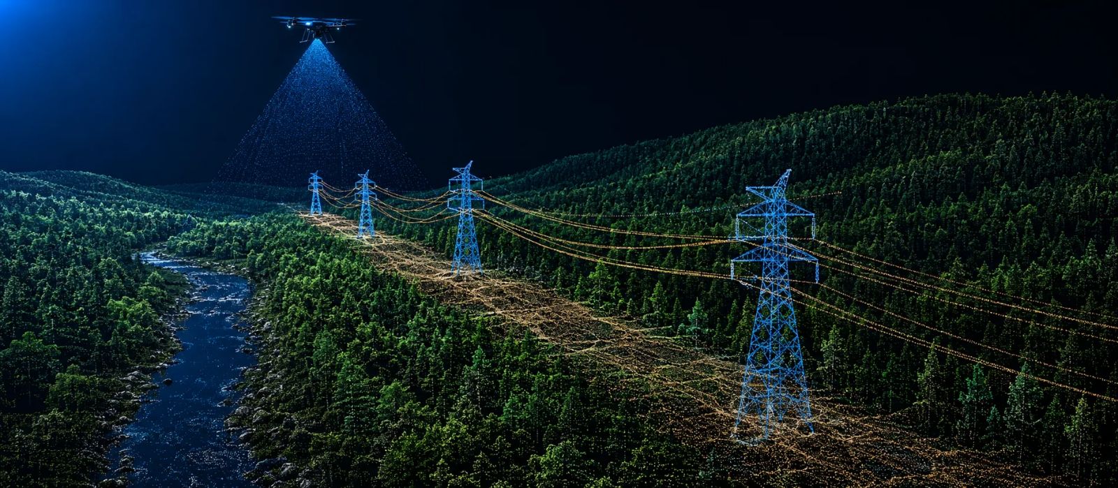
Aerial LiDAR is the default tool for surveying large areas in a short time. But there are situations where, however well planned the flight is, the point cloud it brings back falls short. That is where terrestrial laser scanning (TLS) comes in.
The limits of aerial LiDAR
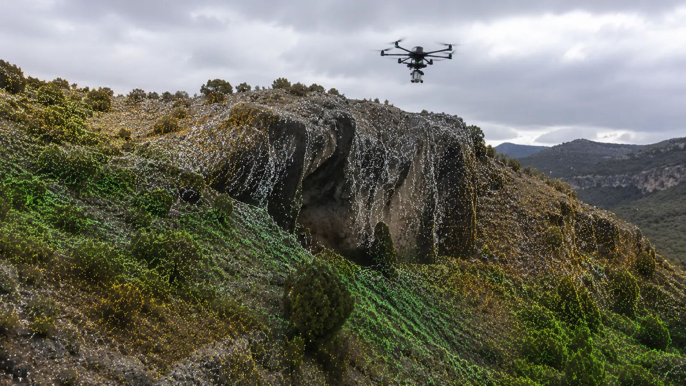
A sensor mounted on a drone or light aircraft sees the terrain from above. That is an advantage for covering kilometres of corridor, but it is also its weak spot: anything hidden beneath an overhang, a cornice, a vertical façade or very dense vegetation simply isn't recorded. The occlusion shadow grows the more vertical the surface is.
On very steep slopes, quarry faces, building façades or structures with complex geometry, the aerial flight delivers an incomplete cloud precisely in the areas that are often the very ones you most need to measure with precision.
What terrestrial scanning adds
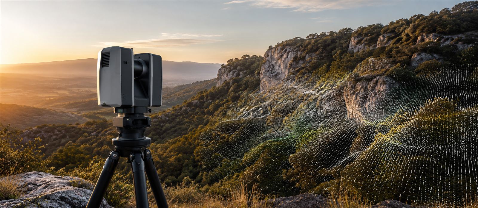
A static terrestrial laser scanner, positioned at several station points around the object, captures those vertical and hidden surfaces with a point density far higher than any flight. It doesn't replace aerial LiDAR for covering extent, but it is irreplaceable for detail at the exact point where it is needed.
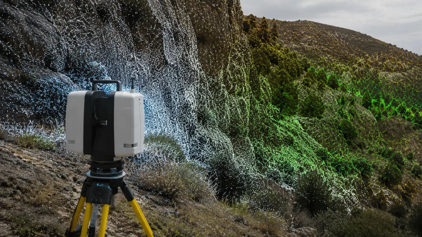
It isn't aerial versus terrestrial. It's where you need extent and where you need detail.
When to combine both techniques
The combination makes surgical sense, not as a general rule: mining and quarries, where the vertical faces change with every blast; slopes and rockfalls, where millimetre precision matters for risk monitoring; and heritage or industry, where there are façades and structures a flight will never capture well. Outside those cases, aerial LiDAR alone is usually enough and more efficient in cost and time.
Integrating the two datasets
The technical challenge is not capturing the two datasets, but registering them in a single, coherent coordinate system and merging them without duplicating or losing point density in the overlap zone. A platform that processes both sources natively avoids the manual step of aligning clouds in separate tools before you can work with a single model.
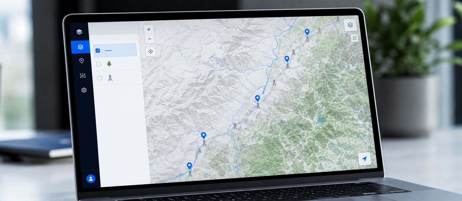
Neobora is designed to work this way. It ingests both the aerial LiDAR cloud and the terrestrial scans, registers them in a common coordinate system and lets you edit them and control their quality on a single model, without exporting to intermediate tools to align the clouds by hand. By relying on OGC standards, that merged model can move straight to geoprocessing, analysis or publication with no conversions or losses along the way.
Conclusion
The question is not which technique is better, but what the project needs in each specific area. Most surveys don't need terrestrial scanning; those that do, really do, and there the combination of both data sources in a single platform marks the difference between a complete model and one with gaps.
And once the model is complete, the value doesn't end at the merge: on Neobora that same combined dataset can be classified with AI, reviewed, versioned by permissions and published in a geoportal in one click, in the cloud or on-premise. The survey stops being a heavy file circulating between tools and becomes a living project, accessible to the whole team.